A super-resolution image that encompasses an entire property.
Aerial Land Mapping
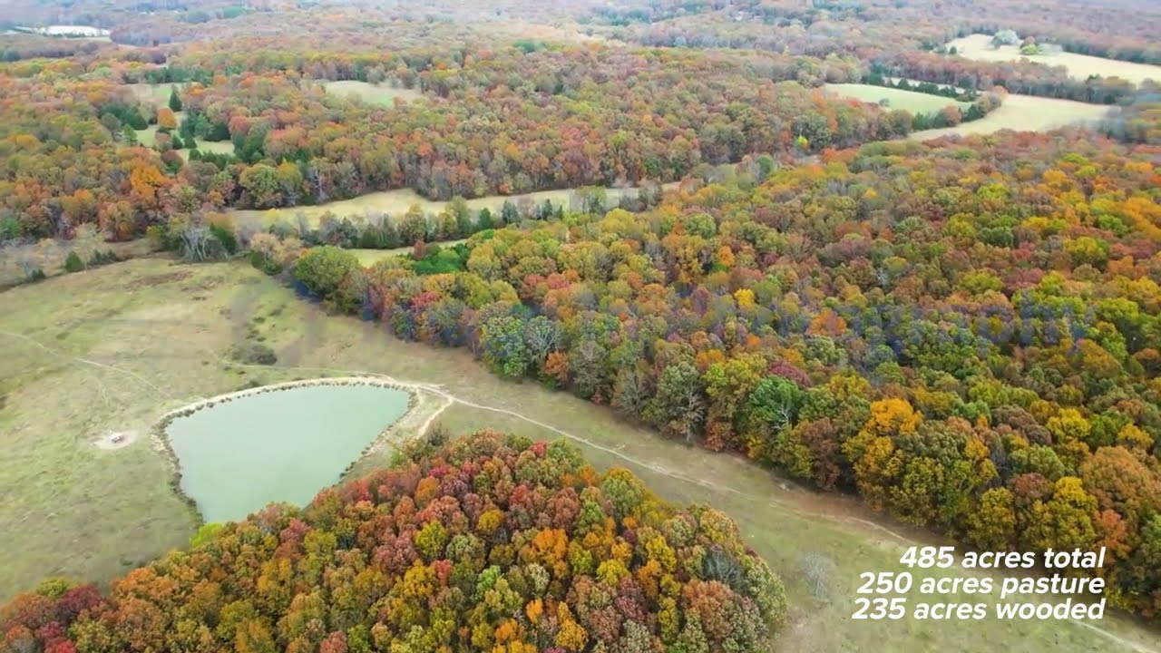
Land Mapping uses hundreds or even thousands of images to create a super-resolution image of an entire property. Not only do you get a full image with property boundaries. Since this image is very high resolution, your buyers can view the entire property and simply zoom in to see fine detal of any part of the image. You can zoom in to see if that small deer still has spots!
See this example:
A Flyover Video is easily the more efficient way to show your property.
click on the image below to view a sample